
 Menu
MenuSearch the Gazetteer
Are the results not as expected? Modify your search term or change the scope to refine your search.
Results for a place that exactly matches ...
Norfolk
Norfolk, England
 Norfolk is a large county in East Anglia. The county is famously flat and mainly rural. Visitors are charmed by cornfields patterned with cornflowers and poppies, and windmills. The north-western corner of Norfolk is on the Wash, where once was marshland running many miles inland, now drained, and the edge of the Great Fen. King's Lynn and Downham Market lies on the edge of the fenland. South of the fens lies Breckland, a country of open heathland and bracken. Elsewhere, western Norfolk is an agricultural area with the market towns of Swaffham, Watton and Fakenham. In the south-eastern part of Norfolk lie the Norfolk Broads, a network of navigable rivers and lakes formed by the flooding of peat workings. On the county's east coast lie the resorts of Great Yarmouth and Cromer. On the north coast, at Cley-next-the Sea and Blakeney, low tide reveals muddy marshes with long creeks, a haven for birdwatchers. Norwich, the county town, is famous for the number of its ancient parish churches. Amongst them the greatest church is the Cathedral, with one of the highest spires and one of the longest naves in the land, not overblown but all in perfect architectural harmony.
Place Type: Historic County
Lat, Long: 52.684192,0.900106
Grid Reference: TF961135
Country: England
GBPNID: 305831
Entry Type: Main listing (P)
URL: https://gazetteer.org.uk/place/Norfolk,_305831
 Explore Norfolk on Wikishire
The north-western corner of Norfolk is on the Wash, where once were marshland running many miles inland, now drained, and the edge of the Great Fen. King's Lynn is a delightful and historic sea port and market town on the Great Ouse. The heart of the town is mediæval in structure. It has two Guildhalls, several churches and merchant's houses from many ages. Downham Market stands on the Great Ouse at the edge of the Fens. Downham serves as the centre for the many villages scattered across this eastern part of the Norfolk fenland. Oxburgh Hall (NT) is a moated country house, built around 1482, in Oxborough to the east of Downham.

Custom House, King's Lynn
To the south-east of the Fens lies another unusual habitat, Breckland. It comprises the gorse-covered sandy heath that lies mostly in the south of Norfolk but also in the north of Suffolk. Covering around 100,000 acres, it is an area of considerable interest for its unusual flora and fauna. On the edge of Breckland lies the market town of Thetford, birthplace in 1737 of the philosopher and political activist Thomas Paine. Thetford lies on the River Ouse, which forms the west part of the Norfolk-Suffolk border, and has long since spread over the border into Suffolk.
Away from the Fens, Breckland and coast, eastern Norfolk is an agricultural area with the market towns of Swaffham, Watton and Fakenham. Castle Acre Priory (EH) is a ruined priory in the village of Castle Acre, to the north of Swaffham. Dereham labels itself "The Heart of Norfolk". due to its central location in the county. Notable buildings in the town include the pargetted Bishop Bonner's Cottage, built in 1502. Blickling Hall (NT) is a 17th-century stately home north of the historic market town of Aylsham.

Castle Acre Priory
The eastern part of the Norfolk-Suffolk border is formed by the River Waveney. On this lies Diss, with a large number of historic buildings, and Harleston, its street lined with many Georgian buildings. Closer to the sea, the Waveney becomes, along with the Yare and the Bure, one of the three rivers which form the heart of the Broads. The Broads is a network of mostly navigable rivers and lakes. The lakes, known as broads, were formed by the flooding of peat workings. The Broads cover about 120 square miles, most of it in Norfolk but with a significant area in Suffolk. The Broads has similar status to the national parks.

Brograve mill-pump, Norfolk Broads
The coast of Norfolk sweeps round in a great arc. At its southern end, eastward facing, is Great Yarmouth, a fishing town still but more a seaside resort, with two tiers, the Pleasure Beach, the Winter Gardens and The Norfolk Naval Pillar, a tribute to Norfolk man Admiral Lord Horatio Nelson completed in 1819. Cromer, further north, is a resort whose motto is "Gem of the Norfolk Coast". Nearby Felbrigg Hall (NT) is a remarkably unaltered 17th-century house, noted for its Jacobean architecture and fine Georgian interior.

The Roller Coaster (built 1932) at Great Yarmouth Pleasure Beach
On the north coast before the Wash, at Cley-Next-the Sea and Blakeney, low tide reveals muddy marshes with long creeks reaching far out. This area is a mecca for bird-watchers. Holkham Hall (NT), in the village of Holkham next to the Wash, is one of England's finest examples of the Palladian revival style of architecture. Hunstanton, known colloquially as 'Sunny Hunny', is a seaside town facing the Wash.

Stratified Carstone (orange) red chalk limestone and white chalk cliffs at Hunstanton
Norwich, the county town, is an ancient Cathedral City. Norwich can no longer boast of being England's second town, but it is the biggest in East Anglia. Norwich is famous for the number of its ancient parish churches. Amongst them the greatest church is the Cathedral, with one of the highest spires and one of the longest naves in the land, all in perfect architectural harmony. St Julian's Church is an early round-tower church, known for its association with Julian of Norwich who lived in permanent seclusion as an anchoress in her cell at the church, in which she wrote the best known surviving book in the English language written by a mystic, Revelations of Divine Love.

St Julian's Church, Norwich
The county's most impressive ancient monuments are the Stone Age flint mines, such as Grime’s Graves, in Breckland. There also many long barrows and Bronze Age round barrows in Norfolk.

Grimes Graves
The Romans built two towns in the area, Caister St Edmund and Caister next Yarmouth. By the 5th century the Angles, after whom East Anglia and England itself are named, had established control of the region, the people divided into the "north folk" and the "south folk"; "Norfolk" and "Suffolk". Subsequently the area was subjected to Danish raids, eventually becoming part of the Danelaw. By the time of Domesday Book (1086), Norfolk was one of the most heavily populated and wealthiest regions in England, which it remained throughout the mediæval period. The region’s prosperity depended largely on wool. Little Walsingham was a famous shrine, attracting pilgrims from far and wide.
Agriculture remains important to Norfolk’s economy. Most types of livestock are raised, the county being noted for its turkeys. Fishing is important around the coast. Norwich still has as an important boot and shoe industry. Most of the towns support some light industry.
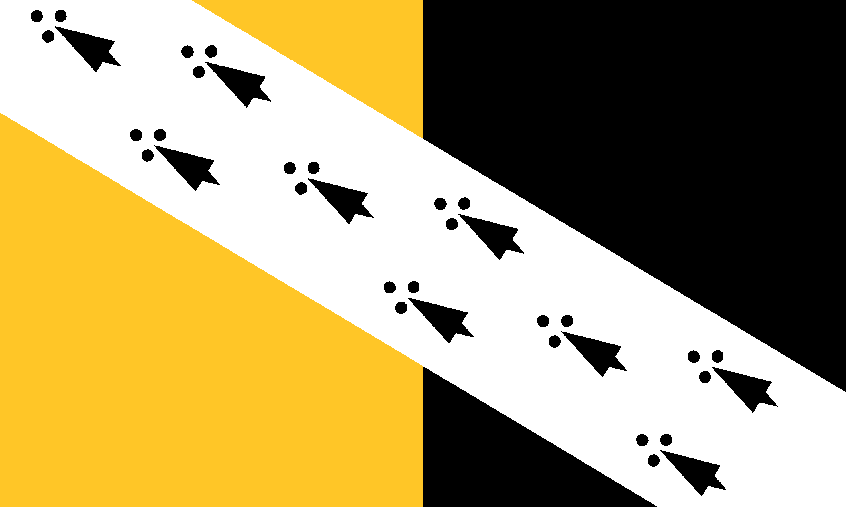
Norfolk’s flag is the armorial banner of the arms attributed to the first Earl of Norfolk Ralph (Ranulph) de Gael (de Guader). This 12th-century design has been associated with the county ever since. Norfolk Day is a huge celebration of the county held on 27th July each year, and usually for several days either side.