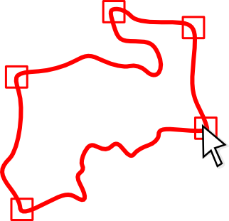
County Border Data
The HCT border data are supplied in SHAPE and KMZ formats, and are supplemented by the Historic Counties Standard, which describes the counties. These resources provide a basis which can be built-upon in your project with GIS solutions such as QGIS.
Digitised border data provided courtesy of the Historic Counties Trust.
The HCT maintains this data as part of the County Borders Project.


 Menu
Menu