Search the Gazetteer
Are the results not as expected? Modify your search term or change the scope to refine your search.
Results for a place that exactly matches ...
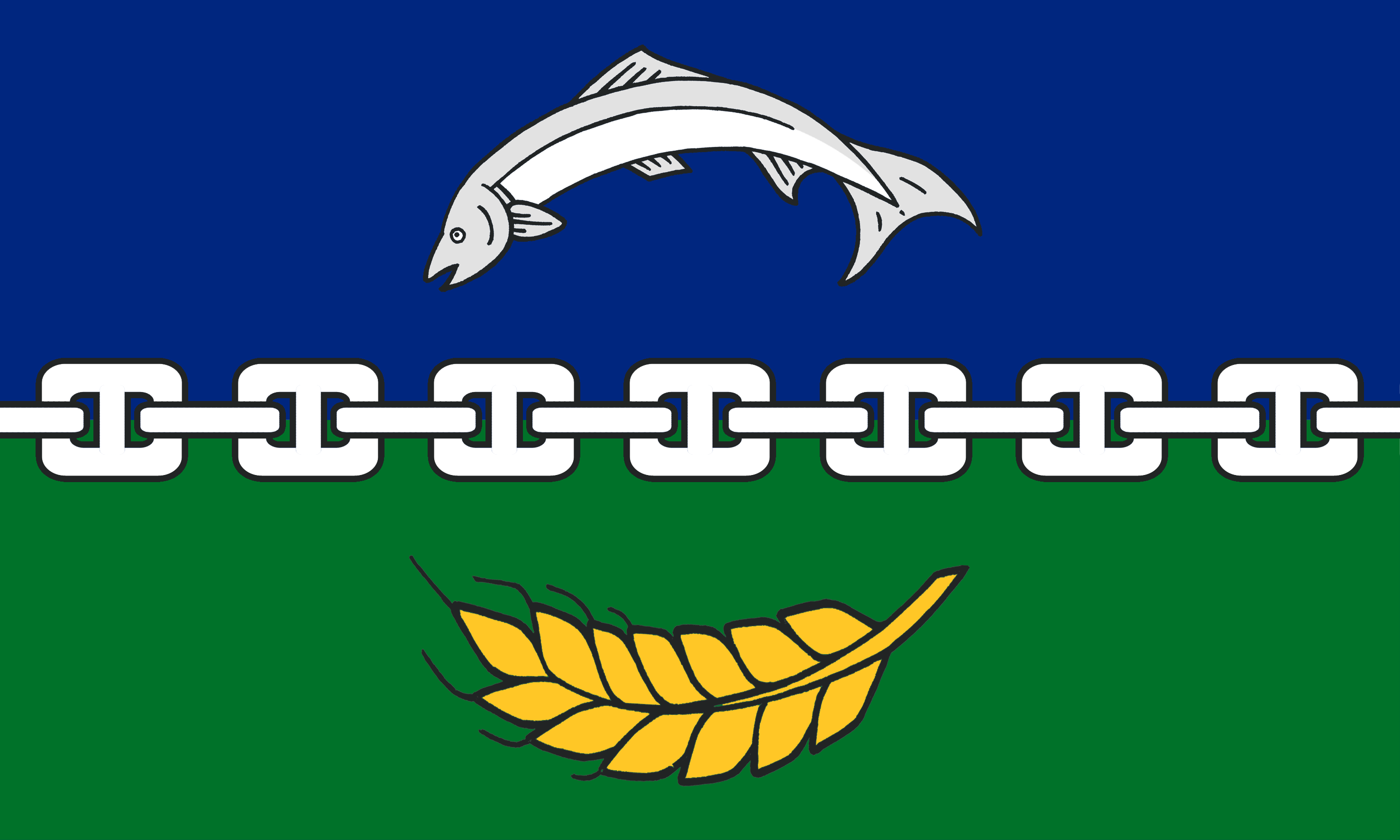
Berwickshire
Berwickshire, Scotland
 Berwickshire is a maritime county on the wild North Sea coast along the border of England and Scotland. The county can be divided into three areas; the Merse being the fertile lands along the Tweed, Lauderdale in the westerly part of a dale with cuts into the Lammermuir Hills, where the River Leader runs, and finally the Lammermuir Hills, the ridge of hills separating Berwickshire from East Lothian.
Place Type: Historic County
Lat, Long: 55.775597,-2.383537
Grid Reference: NT760536
Country: Scotland
GBPNID: 305774
Entry Type: Main listing (P)
URL: https://gazetteer.org.uk/place/Berwickshire,_305774
 Explore Berwickshire on Wikishire
In the far west of the county is Lauderdale, the long, narrow valley formed by the River Leader. The Roman Road known as Dere Street followed the Leader across the dale, as does the modern A68. There are many ancient camps and tumuli in Lauderdale. Formerly a forest and subsequently a royal hunting ground, today Lauderdale is almost completely agricultural. The royal burgh of Lauder stands in the centre of the dale. Notable buildings include the Tolbooth or Town Hall, which predates 1598. Thirlestane Castle, seat of the Earls of Lauderdale, is set in extensive parklands near the town.
In the north and west of the county is the bleak and beauteous landscape of the Lammermuir Hills. Here lies the county top, Meikle Says Law, on the East Lothian border. The small town of Greenlaw lies in the foothills with its impressive town hall, completed in 1831. Greenknowe Tower (HES) is a 16th-century tower house, located just west of the village of Gordon. Hume Castle is the heavily modified remnants of a late 12th or early 13th century castle of enceinte at the hamlet of Hume.

Greenknowe Tower
The Merse comprises the pastoral lands between the River Tweed to the south and the Lammermuirs to the north and west. It is a richly fertile land, of crops and well-fed livestock, the land level by the rivers and elsewhere undulating and wooded. It is in the Merse that the main towns of Berwickshire are found.
Coldstream stands on the north bank of the Tweed. The town is well known as the home of the Coldstream Guards. The Georgian Coldstream Bridge links Coldstream with Cornhill-on-Tweed in Northumberland. In the 18th and 19th centuries, Coldstream was a popular centre for runaway marriages. Notable buildings include the toll house where marriages were conducted, and The Hirsel, the family seat of the Earls of Home. Paxton House is an 18th-century country house which stands overlooking the River Tweed south-west of Berwick.

The Coldstream Bridge from the Berwickshire bank
The town of Duns lies at the centre of the shire. The town and its environs abound in historic buildings. Duns Law, the original site of the town of Duns, has the remains of an Iron Age hillfort. Duns Castle has a massive Norman Keep or Pele Tower which supposedly dates from 1320. Edin's Hall Broch is a 2nd-century broch near Duns, one of very few brochs found south of the Highlands. Blanerne House is an 18th-century mansion. In its grounds lie the remains of Blanerne Castle, a 16th-century fortified house. Nisbet House is a 17th century mansion based around a 12th-century pele tower. Wedderburn Castle is an 18th-century country house.

Edin's Hall Broch
The Berwickshire coastline consists of high cliffs over deep clear water, with sandy coves and picturesque harbours. Eyemouth is a small fishing town and seaside resort. Notable buildings include Gunsgreen House and a cemetery watch house built to stand guard against the "resurrectionists". Nearby are the attractive small villages of Ayton, Reston, St Abbs, Coldingham, and Burnmouth. The coast offers opportunities for birdwatching, walking, fishing and diving.

St Abbs Head
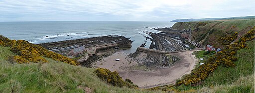
The village of Cockburnspath lies at the north-east of the county, at the eastern end of the coast-to-coast Southern Uplands Way. Cockburnspath Tower is a ruined 15th-century castle standing above a steep-sided ravine. At the nearby village of Cove is a small fishing harbour and a memorial to the eleven men from Cove who lost their lives in the Eyemouth disaster of 1881.

Cove Harbour
In the far south-west of the county, standing in a loop in the Tweed, stand the ruins of Dryburgh Abbey. Founded in 1150, it was burned twice by the English (in 1322 and 1385), recovering to flourish in the 15th century before being finally destroyed in 1544 during the Rough Wooing. Sir Walter Scott and Field Marshall Douglas Haig are buried in its grounds.
Berwickshire was anciently part of the kingdom of Northumbria until the year 1020 when it was ceded to Malcolm II, King of Scotland, by the Earl of Northumberland. From its situation on the borders, the county was the scene of frequent hostilities and an object of continual dispute between the Scots and the English. The town of Berwick, from which the county is named, might be claimed by Berwickshire but the town was sundered by force from its shire in the mediæval wars, leaving Berwickshire without its natural county town.


 Menu
Menu